SB8: Lompoc to Santa Barbara

Stats (today)

Start to finish: 8:00 AM to 1:40 PM

Distance: 46.3 miles

Seat time: 3 h 30 min

Average speed: 13.3 mph

Summary stats (8 riding days)

Total distance: 374 miles

Average ride duration: 6 h 27 min

Average seat time: 3 h 58 min

Overall average speed: 11.8 mph

Average daily distance: 46.8 miles

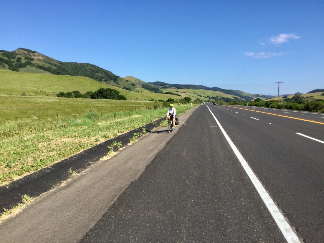
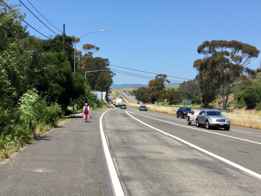
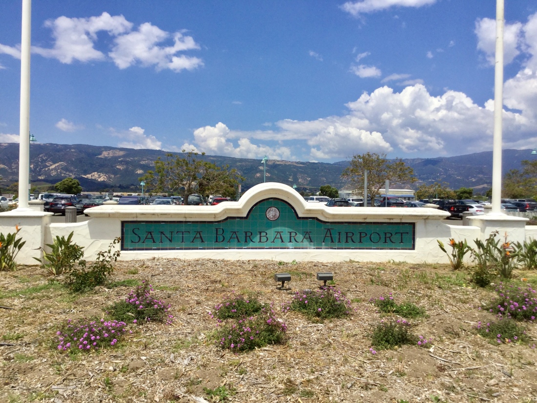
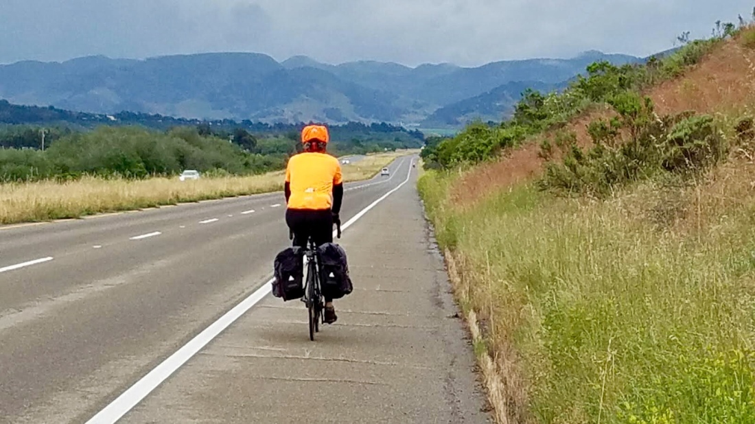
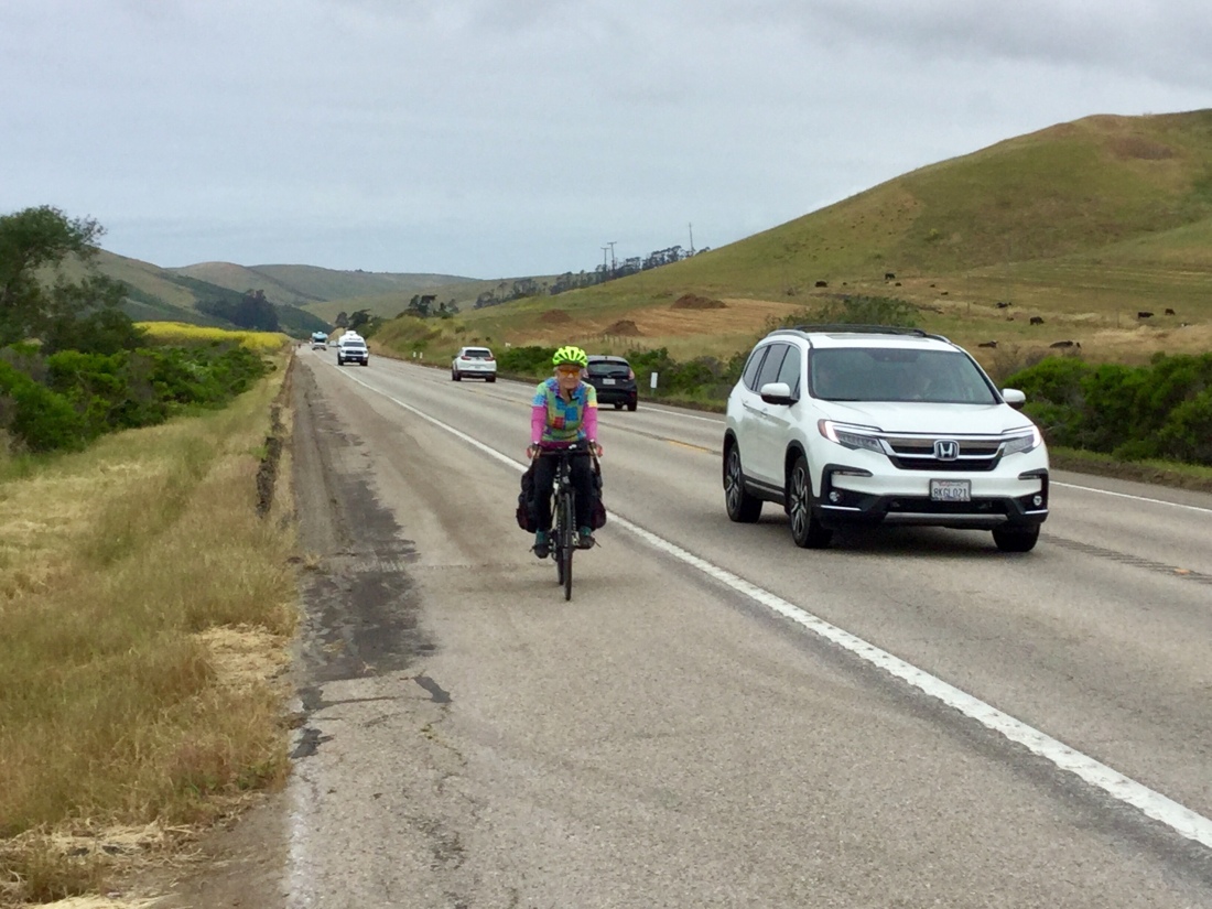
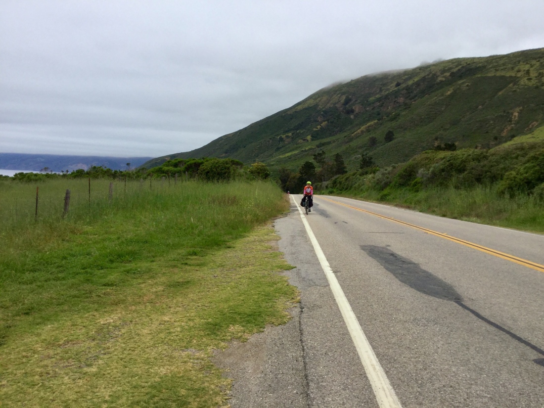
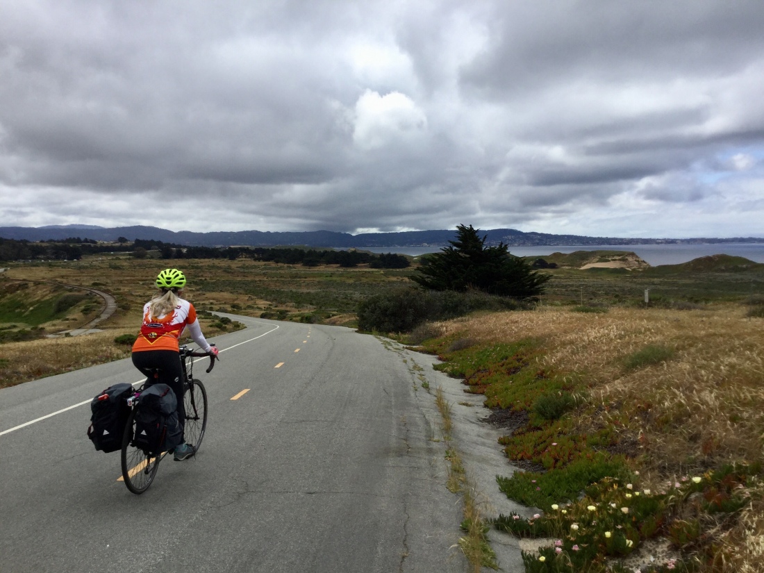
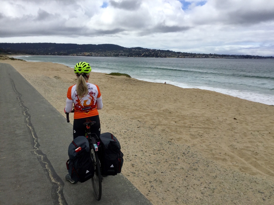
Today’s ride was simple to navigate and a low-stress end for this cycling adventure. We followed Hwy 1 for about 18 miles mainly through rolling undeveloped hills. This segment of road was superb for cycling. Wide shoulder, silky surface, and only light to moderate traffic. Then we merged onto Hwy 101, just before the Gaviota Rest Stop. We rode the generally wide shoulder for a long stretch of about 22 miles, many of which were freeway. The last six miles were straight along a suburban artery to the SB Airport, where we picked up a large minivan to carry us and the bikes back home, a 5-hour drive.

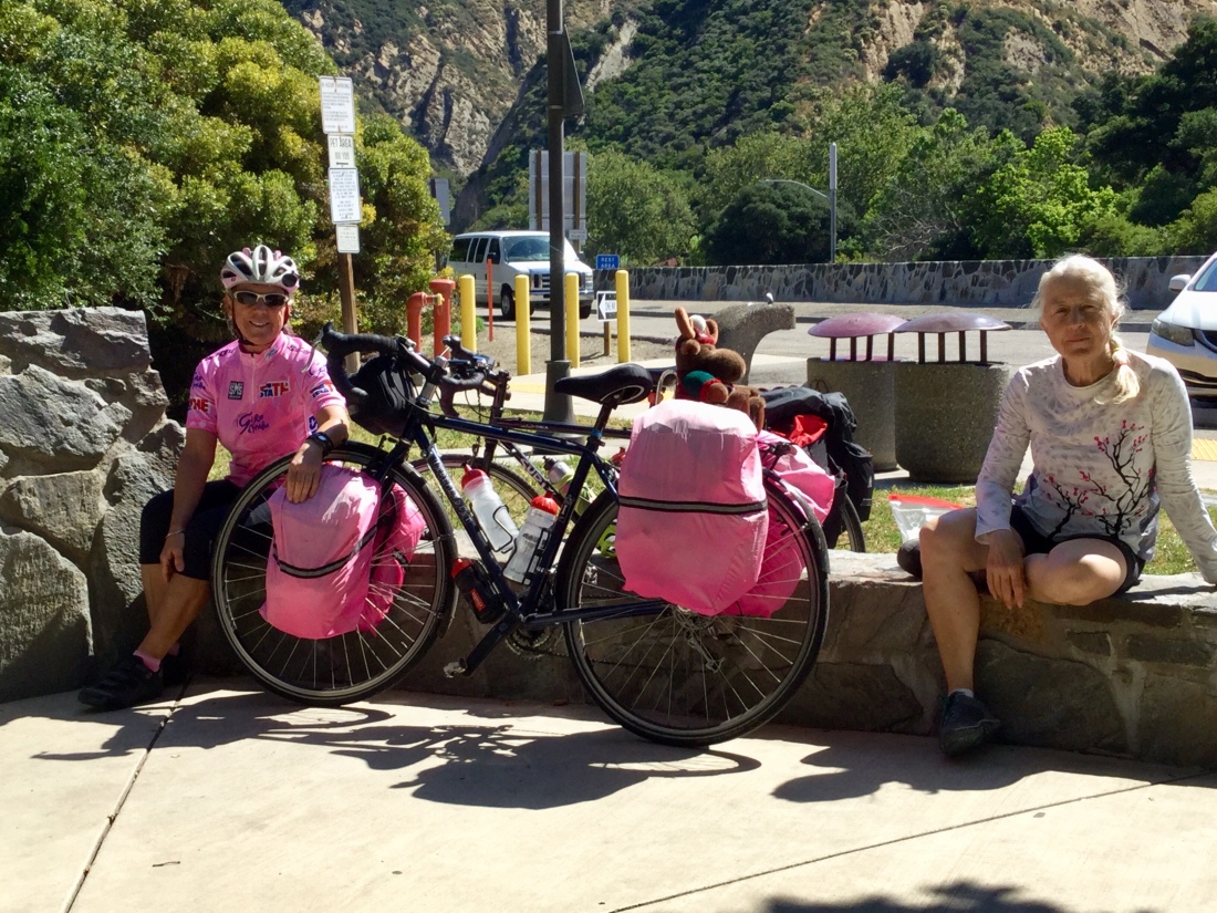
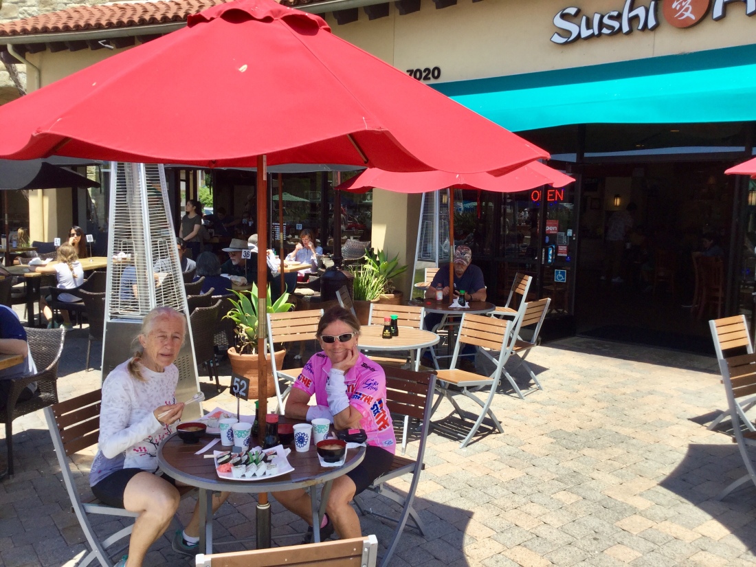
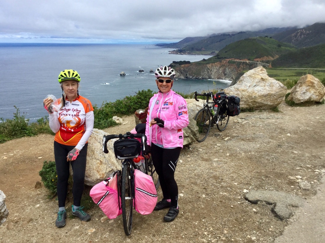
Here’s an odd detail. All three bikes were flawless throughout the trip. Then, at the exact moment of completion, both Alison and I got flat tires. The bicycling gods smiled on this trip, but reminded us to stay humble!

SB7: Pismo Beach to Lompoc

Stats

Start to finish: 8:45 AM to 2:05 PM

Distance: 45.4 miles

Climb: 1950 feet

Seat time: 3 h 43 min

Average speed: 12.2 mph

The ride spanned six distinct segments. 1. Coastal towns from Pismo Beach to Oceano (with an early stop for the world’s best cinnamon rolls). 2. Strange rural industry on a eucalyptus lined road. 3. Almost 15 miles of farm road centered on Guadalupe (pretty, but almost no shoulder throughout, so riding safely required obsessive attention to traffic ahead and behind). 4. A stretch of freeway that was remarkably lightly traveled (and with broad shoulder). 5. A quiet and pretty climb and descent on Harris Grade. 6. Urban riding across Lompoc.

We lucked out with the rain — only light precipitation during the ride itself, not enough even to justify rain gear. But segments 4 & 5 must have been just after heavy showers because the roadway was soaked. My bike was covered in a light coat of dirt from the road spray.

SB6: Cambria to Pismo Beach

Stats

Start to finish: 9:05 AM to 3:05 PM

Distance: 47.9 miles

Climb: 1750 feet

Seat time: 3 h 49 min

Average speed: 12.5 mph

A gray day, on the cool side of comfortable, with rain in tomorrow’s forecast. We had a good riding shoulder all day, so the often heavy traffic alongside was more about unpleasant noise than a safety risk. Our route passed through Cayucos and then Morro Bay where we lunched at Kitty’s Kitchen. We skirted San Luis Obispo before arriving at the Kon Tiki Inn in Pismo Beach. Our room has a small patio with a view to the Pismo Beach Pier.

One small highlight was meeting a group of 6 cyclists who, with support vehicle, were riding in 7 days from San Francisco to Orange County. Yesterday they rode 105 miles through Big Sur! Alison helped them with directions for the coming days.

In Pismo Beach, we strolled through the old town and on the impressive rebuilt pier before having dinner at a new Moroccan restaurant, the Oasis.

SB5: Lucia to Cambria

Stats:

Ride start to finish: 9:10 AM to 4:10 PM

Distance: 46.5 miles

Climb: 3075 feet

Seat time: 3 h 45 min

Average speed: 12.3 mph

The morning ride continued along the rugged coast with two challenging climbs before our lunch stop at Ragged Point. (Bonus: the sun finally came out during lunch.)

Adding to the baseline adventure was repair work that continues from a mammoth landslide that closed Hwy 1 for more than a year a few years back. Numerous big trucks were speeding to the slide site carrying enormous boulders.

The fast and mainly flat afternoon ride included a stop at Piedras Blancas to see the elephant seals. In Cambria, we have a delightful room across the street from the beach.

SB4: Carmel to Lucia

Stats:

Start to finish: 9:15 AM to 5:00 PM

Distance: 51.7 miles

Climb: 4290 feet

Seat time: 4 h 37 min

Average speed: 11.1 mph

We knew this would be our toughest day. Longest distance (by a bit). Most climbing (by a lot). Fourth day of consecutive riding, meaning our reserves are depleted but we’re not yet in full touring shape. Given these factors, we did great!

The scenic beauty is first rate. Traffic was heavy, but not oppressive. The road surface seemed better than I remember. Yes, the shoulder did often disappear, but for large segments, riding on the shoulder outside the lane line was practical. It was another cool and cloudy day; good for riding, but more sunshine would have lifted the mood. (The sun was out only briefly, captured in the first photo.)

SB3: Capitola to Carmel

Stats:

Start – End: 9:10 AM – 4:10 PM

Distance: 47.6 miles

Average speed: 10.6 mph

Seat time: 4 h 29 min

Climbing: 2460 ft

Tougher ride today. Conditions were a combination of less interesting and more demanding, at least for a majority of the route. We started through a long stretch of suburban riding in Soquel and Aptos. Then we passed through farmland near Watsonville. Smell of strawberries was a delight. But roads and traffic have industrial flavor. Then we navigated a stretch of Hwy 1 with very heavy and fast-moving traffic. This piece included a segment of freeway. After lunch in Moss Landing, we finally made our way to a nice off-road cycle path. But we also found stiff cross winds and head winds as we pedaled through Fort Ord and into Monterey. The final challenge was a steep climb on the most direct route to Carmel. Plus more traffic (and the first encounters on this trip with impatient drivers). But now we have a lovely room at the Carmel Fireplace Inn. All is good!

SB1: Colma to Pescadero

Depart home: 8:40 AM

Arrive destination: 3:30 PM

(Route included 1 h BART trip)

Seat time: 4 h 5 min

Ride distance: 43.5 miles

Avg speed: 10.6 mph

Climbing: 2910 ft

It was a great riding day. Cool with mix of clouds and sun; light breeze, mostly helping. Traffic was heavy, but with only short lapses, we had an ample shoulder and excellent road surface. Route took us through Pacifica, Devil’s Slide, Half Moon Bay, and finally Pescadero.

Utah exit

We drove home today, one day ahead of the original plan. The forecast today was high % chance of rain for most daylight hours. The prospect of seeing Zion’s seasonal waterfalls flowing had appeal, but the work was also piling up and there is a short window before our next outdoor adventure. So, we packed and left St. George after breakfast.

Overall, we hiked/ walked 150 miles during our 14 days in Utah. It was a great trip.

Some thoughts and stats about the drive home.

– Totals: 675 miles in 11 h total time

– Four brief stops: 2 for gas and 2 at rest areas

– Traffic conditions made about half the drive stressful, esp. I-15 between Las Vegas and Barstow and then for. Most of the run up I-5 from Buttonwillow

– Weather was interesting, with cool temperatures and cloudy skies on the plus side, strong winds a clear negative, and a few rain showers spicing up the mix.

These few last photos are on bits that didn’t fit into the posts on the days taken: (photos 1-4) Mossy Cave from Bryce Canyon, taken on day 08; and (photos 5-7) Riverside Walk in Zion from day 13.

Utah day 14: Kolob Canyons

We hiked a long trail in the northern portion of Zion NP. The hike was 14 miles with 1000 ft elevation gain. The main portion was the La Verkin Creek Trail, with a small add on to see Kolob Arch. Hiking conditions were good: cool temperatures and a walking surface of packed soil most of the way. The length did tire us out, though. With stops, we finished in just under 8 hours. (The distance measured by my pedometer, which is counting steps, was a bit over 17 miles.)